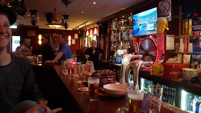
Night club nearby Cayen
Netherlands
Night club nearby Cayen
Cayen
Peperstraat 2, Enkhuizen Nederland
contacts phone
:
+31
Latitude:
52.704621
, Longitude:
5.2923049
read more
nearest Night club
2.587 km
Yomensenstraat
Bovenkarspel
Night club
read more
6.182 km
Café De Paus
P.J. Jongstraat 96, Lutjebroek
Night club
read more
7.071 km
Dylan's Rukbunker
Lobeliastraat 120, Hoogkarspel
Night club
read more
8.356 km
Stijn's Kopkaas Fabriek
Rietzanger 2, Hoogkarspel
Night club
read more
9.052 km
Bassies beach
Andijk
Night club
read more
11.934 km
Kb74
Kerkbuurt 74, Wijdenes
Night club
read more
15.581 km
PartyTop Entertainment
Krijterslaan 56, Zwaag
Night club
read more
15.874 km
Manifesto
Holenweg 14C, Hoorn
Night club
read more
17.141 km
Het Broederschap
Brandnetel 16, Zwaag
Night club
read more
17.237 km
Harkooo
Dovenetel 69, Zwaag
Night club
read more
20.678 km
Camper plek
Houtribweg 60, Lelystad
Night club
read more
24.039 km
Transportbedrijf Belkom
Hand-Eg 2, De Goorn
Night club
read more
24.288 km
Ottoman Xlusive Lounge
Brugplein 4, Lelystad
Night club
read more
24.466 km
Klub "KLIMAT" Holandia
De Burg 6, De Goorn
Night club
read more
24.864 km
Lampie's Place
De Tocht 7, Avenhorn
Night club
read more
24.972 km
The Wizards
Agorahof 1, Lelystad
Night club
read more
25.343 km
Jazzclub Mahogany Hall
Zeevangszeedijk 7, Edam
Night club
read more
26.957 km
Lounge Bar Restaurant VIJF Edam
Prinsenstraat 5, Edam
Night club
read more
27.645 km
De Buhne party en evenementen centrum Amvo Volendam
Julianaweg 106, Volendam
Night club
read more
31.493 km
Rockkoor "Let's Rock"
Gebouw “De Boomgaard”,, Buurthuis Zuidoostbeemster,, Middenpad 2, Zuidoostbeemster
Night club
read more
31.703 km
Babilonia
Achterdijk 80, Purmerend
Night club
read more
31.768 km
Café Aad de Wolf
Koemarkt 15, Purmerend
Night club
read more
44.151 km
Pata Negra
Kleinzand 21, Sneek
Night club
read more
46.698 km
Upper Church
Kerkstraat 50B, Amsterdam
Night club
read more
56.735 km
Schiphol VIP Centre
Jan Plezierweg, Schiphol
Night club
read more
📑
all categories
Accounting
Administrative area level 1
Administrative area level 2
Airport
Amusement park
Aquarium
Art gallery
Atm
Bakery
Bank
Bar
Beauty salon
Bicycle store
Book store
Bowling alley
Bus station
Cafe
Campground
Car dealer
Car rental
Car repair
Car wash
Casino
Cemetery
Church
City hall
Clothing store
Colloquial area
Convenience store
Country
Courthouse
Dentist
Department store
Doctor
Electrician
Electronics store
Embassy
Establishment
Finance
Fire station
Florist
Food
Funeral home
Furniture store
Gas station
General contractor
Grocery or supermarket
Gym
Hair care
Hardware store
Health
Hindu Temple
Home goods store
Hospital
Insurance agency
Jewelry store
Laundry
Lawyer
Library
Light rail station
Liquor store
Local government office
Locality
Locksmith
Lodging
Meal delivery
Meal takeaway
Mosque
Movie rental
Movie theater
Moving company
Museum
Natural feature
Neighborhood
Night club
Painter
Park
Parking
Pet store
Pharmacy
Physiotherapist
Place of worship
Plumber
Point of interest
Police
Political
Post office
Premise
Real estate agency
Restaurant
Roofing contractor
Route
Rv park, camping
School
Shoe store
Shopping mall
Spa
Stadium
Storage
Store
Subpremise
Subway station
Supermarket
Synagogue
Taxi stand
Train station
Transit station
Travel agency
University
Veterinary care
Zoo
administrative area level 3
administrative area level 4
sublocality level 1
sublocality level 2
↑