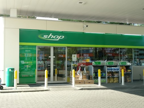
Gas station nearby Q8
Netherlands
Gas station nearby Q8
Q8
2, Ringwade, 3439 LM, Nieuwegein, Nieuwegein, NL Holland
contacts phone
:
+31
Latitude:
52.0573289
, Longitude:
5.1118742
larger map & directions
read more
nearest Gas station
332 m
Tinq
Winthontlaan 8, Utrecht
Gas station
read more
506 m
NSG Terminal Utrecht
Gelderlantlaan 9, Utrecht
Gas station
read more
722 m
Tanken
Ravenswade 200, Nieuwegein
Gas station
read more
727 m
PitPoint tankstation
Ravenswade 200a, Nieuwegein
Gas station
read more
815 m
Tango
Grote Wade 2, Nieuwegein
Gas station
read more
1.053 km
haan Kanaleneiland Utrecht
Beneluxlaan 1001, Utrecht
Gas station
read more
1.053 km
Haan
Beneluxlaan 1001, Utrecht
Gas station
read more
1.139 km
BP Nieuwegein 'Team Trans' (Automaat-trucks)
Veldwade 22, Nieuwegein
Gas station
read more
1.139 km
BP
Veldwade 22, Nieuwegein
Gas station
read more
1.477 km
BP
Lunettenbaan 100, Utrecht
Gas station
read more
1.919 km
OK
Europalaan 6, Utrecht
Gas station
read more
1.93 km
Tankstation Wielingenplein bv
Wielingenplein 5, Utrecht
Gas station
read more
1.973 km
Van Kempen Tankstations B.V.
A.C. Verhoefweg 1, Nieuwegein
Gas station
read more
1.976 km
Shell
A.C. Verhoefweg 1, Nieuwegein
Gas station
read more
2.106 km
Esso
Briljantlaan 15, Utrecht
Gas station
read more
2.454 km
Станция зарядки электромобилей
Simon de Vliegerhage, Nieuwegein
Gas station
read more
2.771 km
Tango Nieuwegein Celsiusbaan
Celsiusbaan 1, Nieuwegein
Gas station
read more
2.859 km
Esso
Dukatenburg 94, Nieuwegein
Gas station
read more
2.92 km
Shell
Plettenburgerbaan 2, Nieuwegein
Gas station
read more
3.044 km
Esso
24 OKTOBER PLEIN 1, Utrecht
Gas station
read more
3.046 km
Esso
24 Oktoberplein 1, Utrecht
Gas station
read more
3.1 km
Esso
Adriaen van Ostadelaan 152, Utrecht
Gas station
read more
3.197 km
BP Galgenwaard
Herculesplein 300, Utrecht
Gas station
read more
3.288 km
BP Jutphaas
Richterslaan 1, Nieuwegein
Gas station
read more
3.29 km
BP
Richterslaan 1, Nieuwegein
Gas station
read more
📑
all categories
Accounting
Administrative area level 1
Administrative area level 2
Airport
Amusement park
Aquarium
Art gallery
Atm
Bakery
Bank
Bar
Beauty salon
Bicycle store
Book store
Bowling alley
Bus station
Cafe
Campground
Car dealer
Car rental
Car repair
Car wash
Casino
Cemetery
Church
City hall
Clothing store
Colloquial area
Convenience store
Country
Courthouse
Dentist
Department store
Doctor
Electrician
Electronics store
Embassy
Establishment
Finance
Fire station
Florist
Food
Funeral home
Furniture store
Gas station
General contractor
Grocery or supermarket
Gym
Hair care
Hardware store
Health
Hindu Temple
Home goods store
Hospital
Insurance agency
Jewelry store
Laundry
Lawyer
Library
Light rail station
Liquor store
Local government office
Locality
Locksmith
Lodging
Meal delivery
Meal takeaway
Mosque
Movie rental
Movie theater
Moving company
Museum
Natural feature
Neighborhood
Night club
Painter
Park
Parking
Pet store
Pharmacy
Physiotherapist
Place of worship
Plumber
Point of interest
Police
Political
Post office
Premise
Real estate agency
Restaurant
Roofing contractor
Route
Rv park, camping
School
Shoe store
Shopping mall
Spa
Stadium
Storage
Store
Subpremise
Subway station
Supermarket
Synagogue
Taxi stand
Train station
Transit station
Travel agency
University
Veterinary care
Zoo
administrative area level 3
administrative area level 4
sublocality level 1
sublocality level 2
↑